Himalayan Glacier Measurement History & Timeline
Himalayan glacier measurement
Himalayan glacier measurement is the scientific tracking of ice mass, volume, and retreat across South Asia’s highest mountain ranges. It is trending because recent satellite and field studies have revised historical melt rates, providing critical data for water security across India.
Trace Himalayan glacier measurement from British surveys to AI satellite tracking, and why revised melt data matters for South Asia water security.
For generations, the white towers of the Hindu Kush Himalaya were viewed as eternal sentinels protecting the subcontinent’s river basins. Today, advanced remote sensing and painstaking on-ground surveys have shattered that illusion, forcing scientists to drastically revise how we measure ice loss. This timeline traces our evolving understanding of the third pole and what updated melt data means for millions downstream.

Colonial mapping initiates early Himalayan glacier measurement
British surveyors and geologists, working under the auspices of the Great Trigonometrical Survey, began documenting the positions of major Himalayan snouts like the Pindari and Milam glaciers. These early expeditions established baseline visual records and sketches, though techniques lacked modern precision. These hand-drawn maps later served as invaluable historical markers for modern climate scientists attempting to quantify long-term ice retreat.
- ▸First formal cartographic records of glacier snouts in Kumaon.
- ▸Dependence on manual sketches, photography, and rudimentary triangulation.
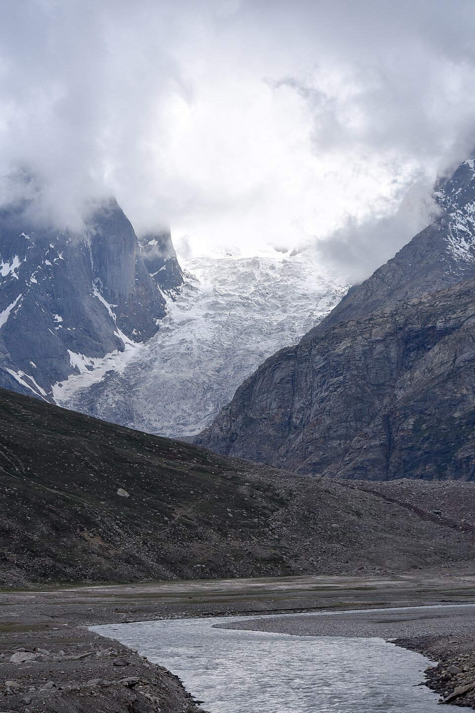
Geological Survey of India formalizes systematic glacier monitoring
Recognizing the strategic importance of snow and ice reserves for river systems, the Government of India established a dedicated Glaciology Division within the Geological Survey of India. Teams began conducting regular expeditions to glaciers such as Bara Shigri in Himachal Pradesh to measure mass balance manually. This institutional push shifted research from ad-hoc colonial exploration to structured, government-backed scientific inquiry.
- ▸Creation of specialized field research teams for high-altitude zones.
- ▸Commencement of stake readings on the Bara Shigri glacier.
Remote sensing transforms Himalayan glacier measurement
With the operational deployment of Indian Remote Sensing satellites, scientists at the National Remote Sensing Centre began mapping glacier boundaries from space. Remote sensing overcame the extreme geographical barriers that limited ground expeditions to only a handful of accessible ice bodies. Researchers could now analyze hundreds of square kilometers of the cryosphere simultaneously, laying the groundwork for digital inventorying.
- ▸Utilization of IRS satellite data to map remote Himalayan regions.
- ▸First comprehensive digital inventories of glacial coverage.
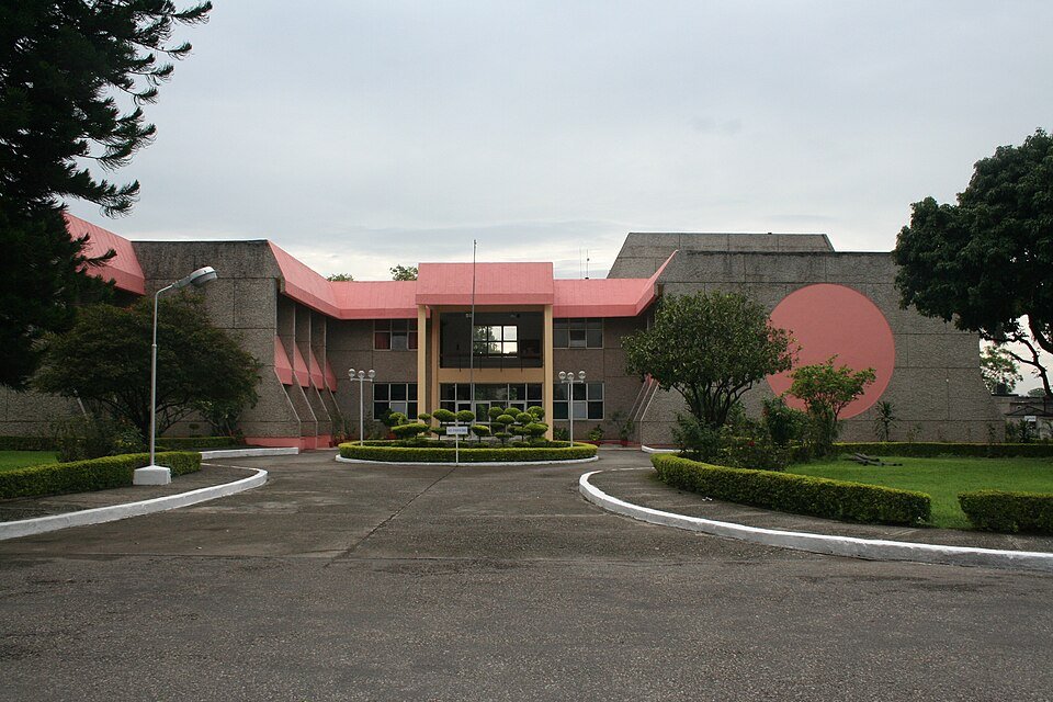
Scientific disputes trigger rigorous re-examination of Himalayan ice data
Following high-profile discrepancies regarding the disappearance timeline of Himalayan glaciers in international reports, the Indian scientific community launched an intensive self-audit. Institutions like the Wadia Institute of Himalayan Geology stepped up field verification to counter generalized claims with empirical rigor. This controversy catalyzed a massive nationwide effort to produce localized, verified data rather than relying on extrapolated global models.
- ▸Launch of the Indian Network on Climate Change Assessment.
- ▸Direct pushback against generalized glacier melting projections.

Declassified spy satellite imagery reveals half-century ice loss trends
Researchers analyzing declassified Cold War-era spy satellite photographs from the 1970s paired them with modern digital elevation models to reconstruct historical ice volumes. This breakthrough allowed scientists to peer backward in time and calculate that Himalayan glaciers had been losing ice at a doubling rate since the turn of the century. The findings proved that recent melt was unprecedented in magnitude compared to the preceding several decades.
- ▸Integration of Hexagon KH-9 satellite imagery into scientific models.
- ▸Quantification of ice thinning rates across a 40-year timeframe.
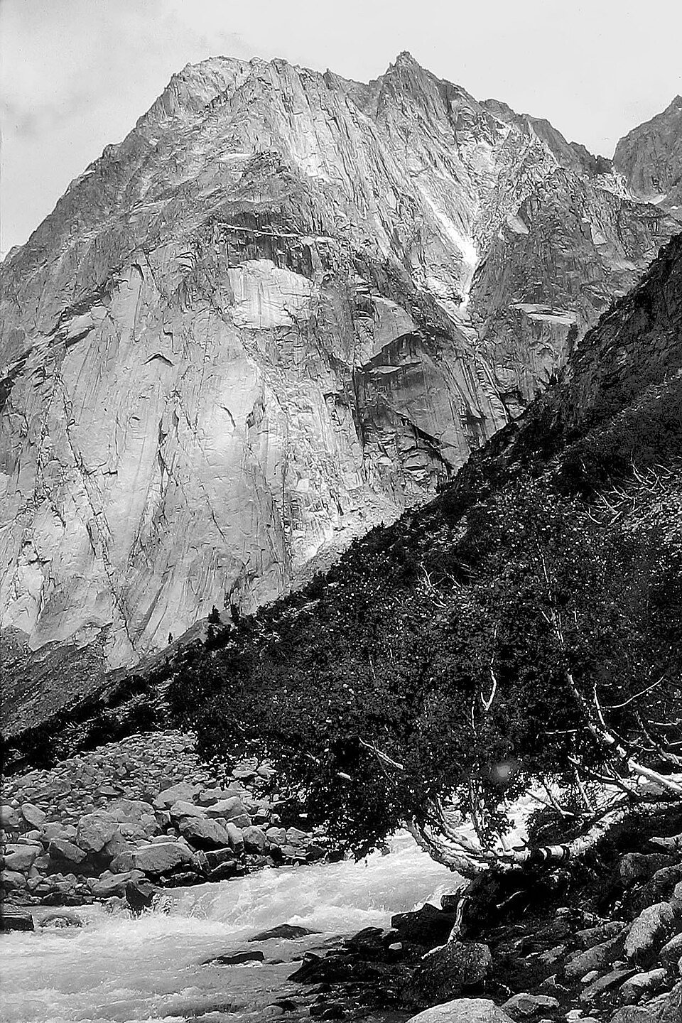
ICIMOD study shows alarming acceleration in Himalayan glacier loss
A landmark assessment published by the International Centre for Integrated Mountain Development revealed that Hindu Kush Himalayan glaciers melted 65 percent faster between 2011 and 2020 than in the previous decade. The study integrated updated field measurements and advanced satellite radar data to correct previous underestimations of volume loss. These revisions signaled an impending crisis for major river basins spanning India, Pakistan, and Bangladesh.
- ▸Documentation of a 65% acceleration in decade-over-decade melt rates.
- ▸Warning of peak water threats for 1.65 billion downstream inhabitants.
Artificial intelligence enhances predictive Himalayan glacier measurement
Indian research institutions and tech bodies began deploying machine learning algorithms to process massive volumes of Sentinel and Landsat satellite telemetry. AI models can now autonomously map debris-covered glaciers—which were previously difficult to distinguish from surrounding terrain using manual methods. This technological leap enables near-real-time tracking of glacial lake expansion and ice mass fluctuations.
- ▸Deployment of machine learning for automated debris-cover mapping.
- ▸Improved early warning systems for Glacial Lake Outburst Floods in Uttarakhand and Sikkim.
What Happens Next?
The evolution of Himalayan glacier measurement reflects a remarkable journey from colonial sketchbooks to AI-powered satellite constellations. As refined data continues to underscore the speed of ice loss, the focus across India must shift toward robust adaptation and water security planning. Understanding the precise rhythm of the melting cryosphere remains our most critical tool for safeguarding the river basins of tomorrow. © 2026 AiTimeline. Content is editorial and AI-assisted, compiled from publicly available sources. Information may contain inaccuracies. All rights reserved.
Frequently Asked Questions
Himalayan glacier measurement involves monitoring changes in the mass, area, and volume of glaciers across the Himalayan mountain range. Scientists use a combination of historic cartography, modern satellite imagery, and direct on-site stake measurements to calculate ice melt and snow cover dynamics over time.
Scientists revised historical glacier measurements due to advancements in high-resolution satellite remote sensing and digital elevation models. Earlier manual surveys often relied on limited field access and rough estimations, whereas modern techniques allow researchers to reconstruct past ice volumes with unprecedented accuracy.
Glacier retreat directly threatens perennial water supplies for major river systems like the Ganga, Brahmaputra, and Indus. Initially, accelerated melting increases river discharge and flood risks, but over the long term, depleted glaciers threaten drinking water, irrigation, and hydropower generation for hundreds of millions of people.
The Indian Space Research Organisation utilizes indigenous satellites like Cartosat and RISAT to monitor snow cover, glacier boundaries, and glacial lake outbursts. These space-based observations provide vital empirical data that helps Indian policymakers anticipate water resource shifts and natural disaster risks in the high mountains.
The future outlook for Himalayan glaciers depends heavily on global greenhouse gas emission trajectories. Even under moderate mitigation scenarios, scientific models project substantial ice volume loss by the end of the century, necessitating urgent adaptation strategies in agriculture and regional water management infrastructure.
Sources & References